
By Sam Halberstadt · Reviewed by Marina Chen
Editor · USCG-licensed Master 50 GT · Updated May 6, 2026
Modern chartplotters are wonderful — until they're not. This pillar covers electronic navigation, paper backups, ATON (aids to navigation), and the dead-reckoning techniques every captain should keep sharp.
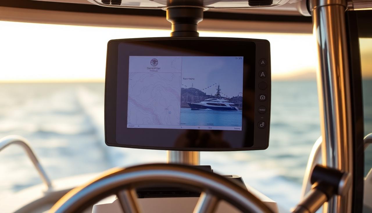
Chartplotters and MFDs
Garmin, Raymarine, Furuno, B&G — they all do the same job. Pick the one with the screen size and chart subscription that fits your area.
AIS and collision avoidance
AIS Class B transponders broadcast your position to commercial traffic and other boats. Worth every penny in coastal traffic.
Aids to navigation (ATON)
Red right returning, day shapes, lateral vs cardinal marks. The IALA-B system used in the Americas is straightforward once memorized.
Paper chart backup
When the breaker pops, a paper chart and a hand-bearing compass will get you home. Carry at least one chart for your home waters.
Dead reckoning basics
Course, speed, and time give you position. Practice DR with the plotter off — it's the skill that saves you when electronics fail.
Some links on this page are affiliate links — we may earn a small commission at no extra cost to you. We only recommend gear we'd use ourselves. Read disclosure.
Cluster articles
More in Navigation

Frequently asked
On familiar lakes, no. On large lakes, rivers, or any coastal water, yes — bare minimum is a phone with Navionics.